


Digital Data Services
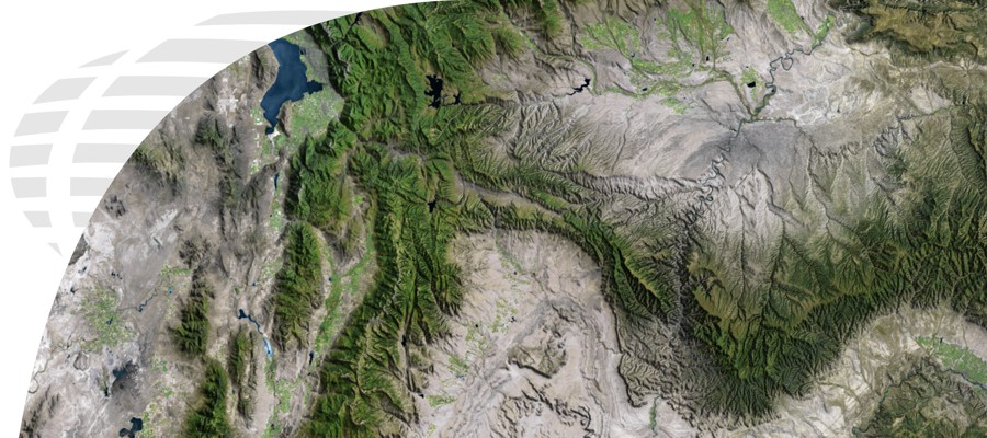
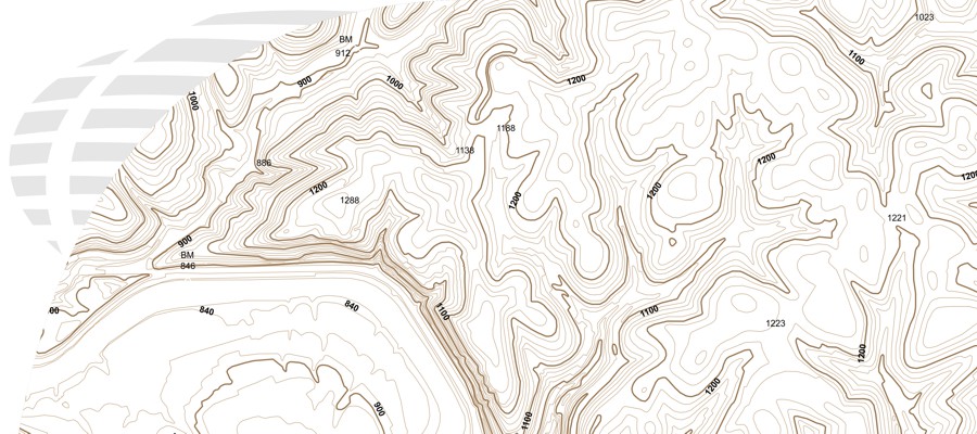
For over 15 years, Digital Data Services, Inc. (DDS) has had the privilege of providing Products, Services, and Solutions to over 4,500 clients across all industries. Some of DDS’ top product offerings include topographic data, high resolution satellite and aerial imagery, elevation (DEM), land survey grid, and map data. DDS also offers many services such as; GIS and mapping, digitizing, file conversion, georeferencing, and orthorectification. As a Silver Partner for Esri GIS products, we offer a wide variety of software solutions. Our experience working in multiple industries and disciplines, for over a decade and a half, has giving DDS an advantage over many of our competitors. Since our inception, DDS has always put the needs of our clients first. We are from the beginning of a project, to the end, and even beyond. Our strong personal relationship with our clients and our commitment to provide them with the best products, services, and solutions is what has kept the DDS brand strong for so long.