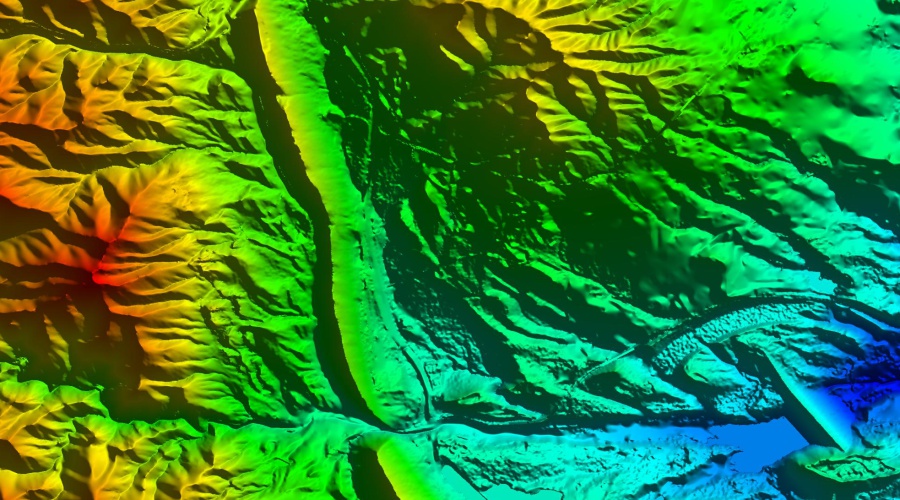

5 Meter Resolution International Digital Elevation Models
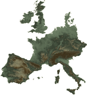
Digital Data Services, Inc., through our partnership with Intermap Technologies, is pleased to offer the NEXTMap® Europe Digital Elevation Products. This 5 meter resolution product is delivered as either a Digital Terrain Model (DTM) or a Digital Surface Model (DSM). The data coverage includes an extensive portion of Europe.
Digital surface model (DSM)– a first-reflective-surface model that contains elevations of natural terrain features in addition to vegetation and cultural features such as buildings and roads.
Digital terrain model (DTM)– a bare-earth model that contains elevations of natural terrain features such as barren ridge tops and river valleys. Elevations of vegetation and cultural features, such as buildings and roads, are digitally removed.