-
Home

-
Products
-
Topographic Data
-
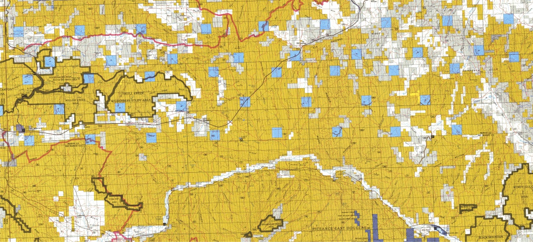
BLM Land Use Maps
-
Products | General
- Products | Elevation
3 Meter Resolution United States Digital Elevation Models
A digital elevation model (DEM) is a 3D digital representation of ground surface topography or terrain. Digital Data Services, Inc. offers 3 meter resolution Digital Elevation Models for the United States.
The data coverage is primarily in urban areas with a vertical accuracy of approximately 1 meter. Data for custom areas are supplied in user provided format and map projection.
NEXTMap® 5 Meter Resolution U.S. Digital Elevation Models
|
Digital Data Services, Inc., through our partnership with Intermap Technologies, is pleased to offer the NEXTMap® USA Digital Elevation Products. This 5 meter resolution product is delivered as either a Digital Terrain Model (DTM) or a Digital Surface Model (DSM). The data coverage includes all of the United States, excluding Alaska.
Digital surface model (DSM)– a first-reflective-surface model that contains elevations of natural terrain features in addition to vegetation and cultural features such as buildings and roads.
Digital terrain model (DTM)– a bare-earth model that contains elevations of natural terrain features such as barren ridge tops and river valleys. Elevations of vegetation and cultural features, such as buildings and roads, are digitally removed.
|
|
5 Meter Resolution International Digital Elevation Models
Digital Data Services, Inc., through our partnership with Intermap Technologies, is pleased to offer the NEXTMap® Europe Digital Elevation Products. This 5 meter resolution product is delivered as either a Digital Terrain Model (DTM) or a Digital Surface Model (DSM). The data coverage includes an extensive portion of Europe.
Digital surface model (DSM)– a first-reflective-surface model that contains elevations of natural terrain features in addition to vegetation and cultural features such as buildings and roads.
Digital terrain model (DTM)– a bare-earth model that contains elevations of natural terrain features such as barren ridge tops and river valleys. Elevations of vegetation and cultural features, such as buildings and roads, are digitally removed.
10 Meter Resolution United States Digital Elevation Models
Digital Data Services, Inc. offers 10 meter Digital Elevation Models, a compilation of data from a variety of existing high-precision datasets such as LiDAR data, contour maps, and other sources which were reorganized and combined into a seamless dataset. Coverage is for the majority of the lower 48 states.
30 Meter Resolution United States Digital Elevation Models
Digital Data Services, Inc. offers 30 meter Digital Elevation Models, a compilation of data from a variety of existing high-precision datasets such as LiDAR data, contour maps, and other sources which were reorganized and combined into a seamless dataset. Coverage is for the entire United States.
Alaska DEM data is delivered at 60 meter resolution and is sold as part of the 30 meter resolution dataset.