International Digital Elevation Models
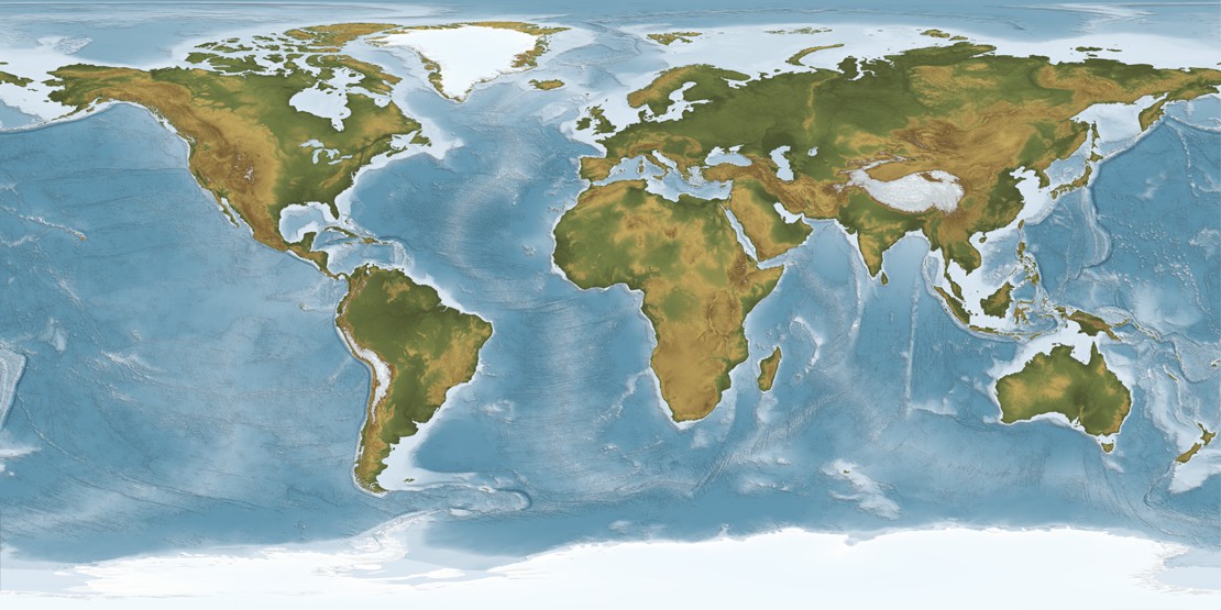
A digital elevation model (DEM) is a 3D digital representation of ground surface topography or terrain. Digital Data Services, Inc. offers International Digital Elevation Models in 5, 30, 90, and 1 kilometer resolutions. With a wide-variety of resolutions and delivered file formats possible, DDS can offer you the right DEM product for your needs. Data can be ordered in a variety of formats and map projections.
5 Meter Resolution Digital Elevation Models (Europe)- Through our partnership with Intermap Technologies, DDS offers 5 meter Digital Surface Models (DSM) and Digital Terrain Models (DTM) for Europe.
30 Meter Resolution Digital Elevation Models- The 30 meter Digital Elevation Model dataset was collected through a remote sensing device, reorganized and combined into a seamless dataset. Coverage is worldwide.
NEXTMap World 30- NEXTMap World 30 DSM is a combination of 90-meter Shuttle Radar Topographic Mission (SRTM), 30-meter ASTER, and 1-kilometer GTOPO. Coverage is worldwide.
90 Meter Resolution Digital Elevation Models- The 90 meter Digital Elevation Model dataset was collected a specially modified radar system. Coverage is between 60 degrees North and 56 degrees South latitude.
Custom Digital Elevation Models- DDS offers custom DEM creation from topographic maps or from stereo satellite imagery.