


Custom Digital Elevation Models (DEMS)
Custom Digital Elevation Models can be created either by digitizing existing contour lines from a topographic map, or by using stereo imagery from DigitalGlobe satellite imagery.
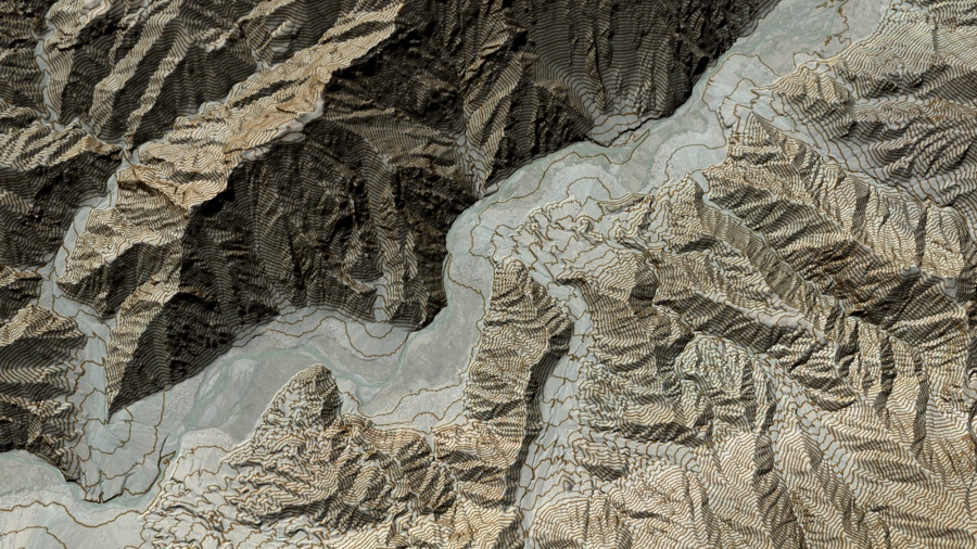
DEMs Created from Topographic Maps- Typically, this is the most cost-effective between the two options of generating custom DEMs. DEM creation begins with the scanned, geo-referenced topographic map(s) or raster images. Contour Lines from the raster image are extracted, converted to digital vectors and given elevation values. Once a digital image has been fully vectorized, a surface grid is then generated from contours, with the water bodies added. The resulting resolution can be anywhere between 5-30 meters dependant on the contour intervals on the source document.
DEMs Created from Satellite Imagery- Available for nearly anywhere on the Earth, DDS provides a seamless, high-quality and consistent terrain data set. The terrain models are edgematched, cleaned for data anomalies, and seamlessly mosaicked. DEMs are edited within accuracy specifications to terrain height (example: buildings are not necessarily edited to the ground if they are lower than the accuracy specification). In areas where the ground cannot be seen due to dense canopy, elevation will not be edited to ground but rather will remain at canopy height. Drainage may not be monotonic due to accuracy limitations.