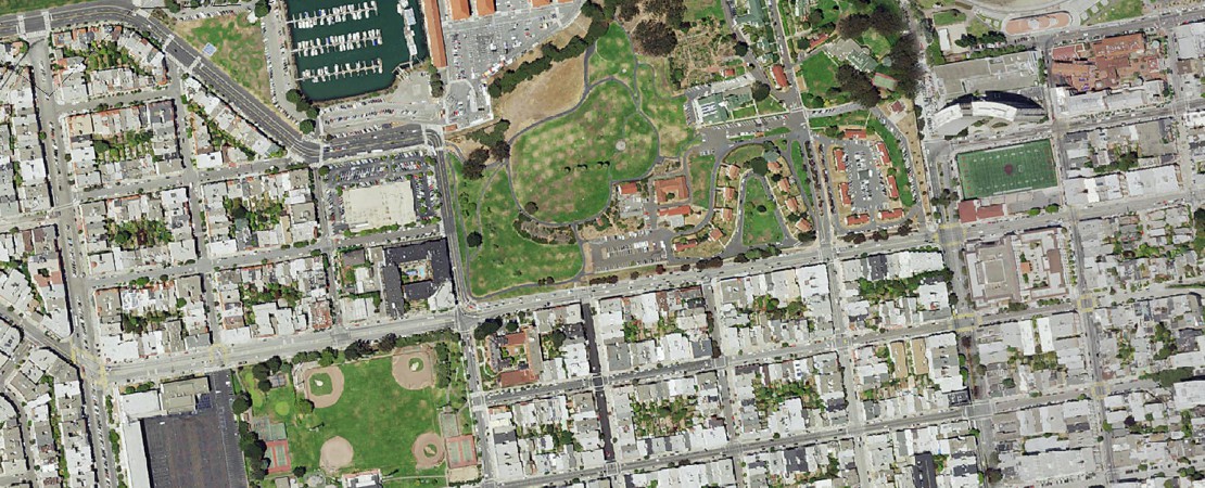

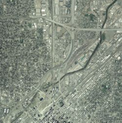
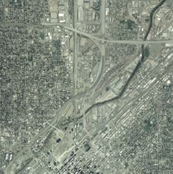
Natural Color Aerial Photography
Digital Data Services, Inc.’s Natural Color Aerial Photography products are recent aerial images for the continental United States that range from 2005-present day. Typically these photographs are within one to two meter resolution (one pixel on the image represents one or two meters on the ground). The products are available in custom areas (user defined areas) and as a county-wide mosaic. For custom areas, you may specify any projection, datum, units, and file format. For county mosaics, the data is delivered as Mr.SID files in the UTM, NAD 83, Native Zone, meters.