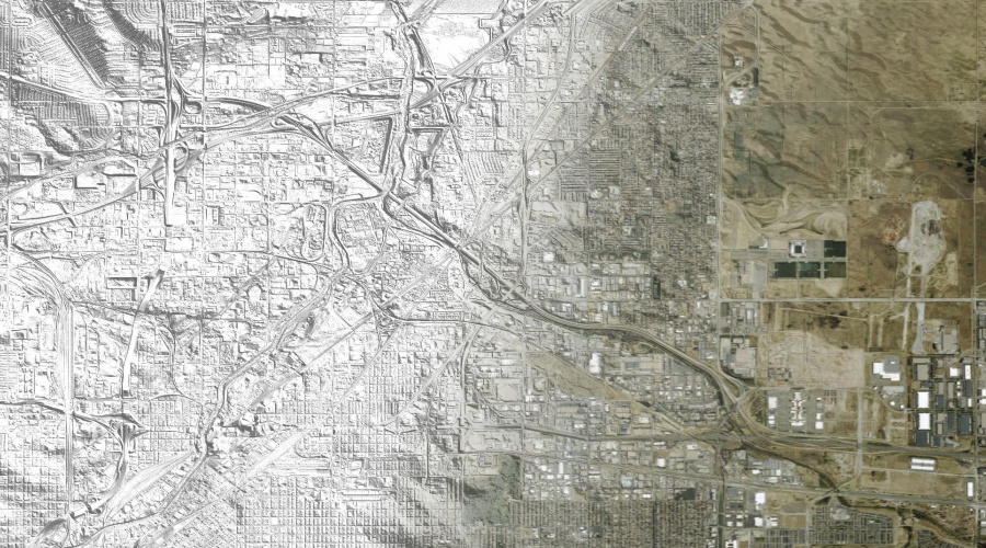

3 Meter Resolution United States Digital Elevation Models
A digital elevation model (DEM) is a 3D digital representation of ground surface topography or terrain. Digital Data Services, Inc. offers 3 meter resolution Digital Elevation Models for the United States.
The data coverage is primarily in urban areas with a vertical accuracy of approximately 1 meter. Data for custom areas are supplied in user provided format and map projection.