Georeferencing Services
Georeferencing Raster Images
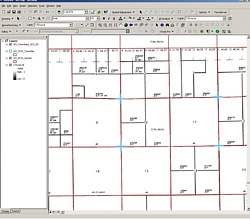
A raster image, also known as a bitmap, is a way to represent digital images via pixels. The raster image can include a variety of formats including .tif .gif, .jpg, and .bmp. A crucial element of any mapping project is registering and integrating maps with correct real world coordinates; Latitude and Longitude (Lat/Long). This procedure is called georeferencing.
If the maps are not georeferenced, no “intelligent” information can be displayed or positioned on the map. Depending on the source materials and the specifications of the project, maps can be registered to either a coordinate system, or to another base map such as a digital orthophoto.
- Map Georeferencing
- Historic Aerial Photo Georeferencing
- Satellite Imagery Orthorectification
- Vector Data Rubbersheeting
Georeferencing Vector Data
Vector data can be georeferenced (or rubbersheeted) to real world coordinates; Latitude and Longitude (Lat/Long). Rubbersheeting is a nonuniform adjustment of a data set based on the association of known control points to new locations. Vector data can be either rubbersheeted to match existing base maps or the data may be projected into a specific coordinate system. Unlike raster images, vector images contain useful “intelligent” data/information that can be used in various Geographic Information Systems (GIS) software programs.