


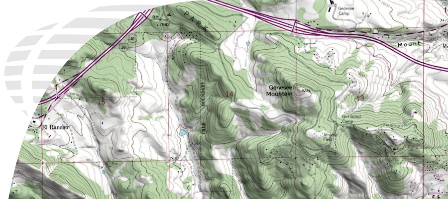


Digital United States Topographic Maps- USGS
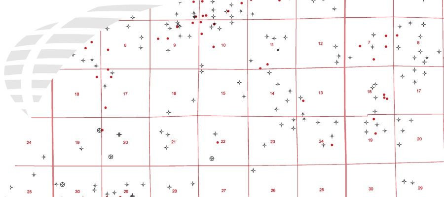
There are several options for ordering Digital United States USGS Topographic Maps. Client may order individual maps, custom areas, entire states, or the entire United States. Custom areas are delivered by a customer’s supplied area of interest. Data is then provided back as a single mosaic composite image (please note that large areas submitted may need to be delivered in seamless tiles).
Medium Resolution (250 DPI)
Georeferencing is included in price.
State Bundles: With Map Collars (UTM Native Zones, NAD 27 or NAD 83, meters): $100 per state, Without Map Collars or Custom Map Projection: $300 per state
Entire USA Bundle: With Map Collars (UTM Native Zones, NAD 27 or NAD 83, meters): $1,500, Without Map Collars or Custom Map Projection: $3,000.
High Resolution (400 DPI)
Individual Maps: $20 for the first map, $5 for each additional map. Georeferencing can be included for an additional $15 per map for the High Resolution product. No additional charge for collared or collarless when ordering georeferencing. Minimum order $100 to cover labor associated with research and aquisition of source maps. Does not include price of purchasing the maps, if necessary.
State Bundles: Call or e-mail for a quote.
Entire USA Bundle: Call or e-mail for a quote.