

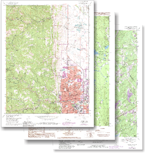
Digital U.S. Topographic Maps- USGS
Digital Data Services, Inc. provides the largest coverage of current and historic U.S. Geological Survey (USGS) topographic maps in the private sector. Our USGS topographic maps can be ordered in Medium Resolution (250 DPI) or High Resolution (400 DPI).
The scanned image can include all map collar information, or may be ordered without the collar information (clipped to the neat line). All medium resolution products are delivered georeferenced for GIS use. The high resolution products can be delivered georeferenced for an additional charge. Common map scales for the United States topographic maps are 1:24,000, 1:63,360 (Alaska), 1:100,000 and 1:250,000.